
- eucalyptus
- karribos
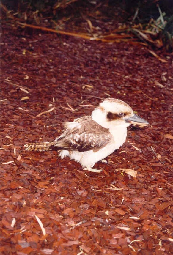
- kookaburra
Walpole Nornalup
 |
 |
 |
 |
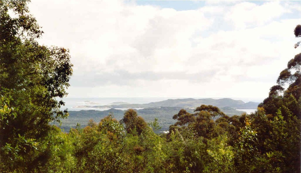
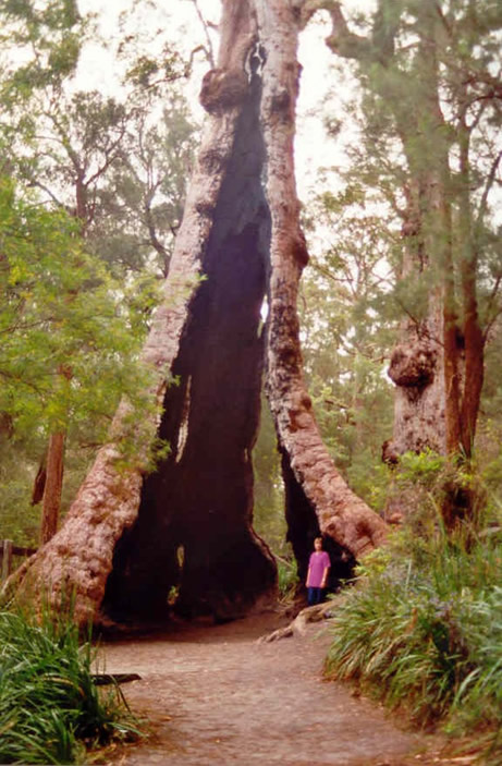
| Hilltop Lookout | Giant Tingle Tree | Circular Pool | kookaburra |
Het plaatsje Walpole ligt aan de kleine en ondiepe Walpole Inlet die in verbinding staat met de grotere en diepere Nornalup Inlet. Nornalup Inlet is verbonden met de zee. Op het schiereiland The Knoll, dat de beide inlets van elkaar scheidt, is de Knoll Scenic Drive aangelegd. Deze 5 kilometer lange weg, eenrichtingsverkeer, biedt mooie uitzichten op beide inlets en er zijn verschillende wandelingen mogelijk. Vanuit The Knoll, via Coalmine Beach Road is de Hilltop Scenic Drive te bereiken. Hilltop lookout biedt mooi uitzicht op Nornalup Inlet en de Southern Ocean. Iets verder is een parkeerplaats waar een korte wandeling door het bos uiteindelijk leidt naar de Giant Tingle Tree. Deze hoge boom is door brand uitgehold, maar leeft desondanks nog steeds. Vanaf de parkeerplaats is het 6 kilometer rijden naar Circular Pool. In de winter zijn er flinke waterstromen in deze Frankland River maar in de zomer is het een rustig watertje om te zwemmen.
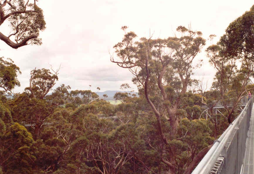
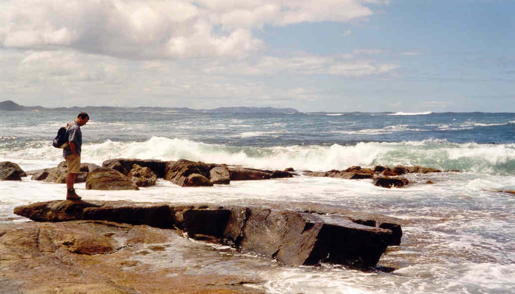
In het oosten van het park ligt The Valley of the Giants, een gebied waar grote red tingle trees groeien. Er is een wandelpad door het bos en een enorme staalconstructie (zie foto) maakt het mogelijk om tussen de boomtoppen te lopen. Deze Tree Top Walk is ongeveer 400 meter lang en biedt met een hoogste punt van 40 meter, uitzicht over het bos. Ten zuiden van dit gebied liggen de prachtige stranden van Peaceful Bay en Conspicuous Bay.
 |
 |
 |
 |
| Tree Top Walk | Tree Top Walk | Peaceful Bay | kookaburra |
Eye to eye with the giants
The award-winning Valley of the Giants development, opened in 1996, replaces an earlier picnic site, which was literally being destroyed by the number of visitors coming to the area. No tour of the south-west was complete without a photograph of your car parked in the giant hollowed out tingle tree at this picnic spot near Nornalup. Visitors would then follow a little path to see another dozen or so big tingle trees.
Like most eucalypts, tingles can’t survive if the soil around their roots is compacted. The number of visitors trampling around the picnic area reached 100.000 a year by 1989 and the tree that featured in so many holiday photos collapsed. The little path to the other trees became just one of dozens of tracks and the car park expanded uncontrollably. A solution had to be found and this became one of the priorities when CALM began work on a management plan for Walpole-Nornalup NP in 1990.
The tingle forest was always going to attract visitors. The national park has three species of tingle tree, which grow, only in the Walepole area. Tingles grow to a height of 60 metres and have thick, heavily buttressed trunks which reach five metres or more in diameter. A way had to be found for people to enjoy the forest without damaging it. The result is an elevated walkway known as the Tree Top Walk and the series of boardwalks that make up the Ancient Empire Walkway.
The new Valley of the Giants is about 500 metres away from the original site, where most of the tired old giants didn’t have tall trunks and crowns. The Tree Top Walk is made up of six lightweight bridge spans, each 60 metres long and four metres deep, supported between guyed pylons. The steel trusses rise slowly over terrain that falls deep into the valley. At its highest point, the Tree Top Walk is nearly 40 metres above the creek bed in the valley below. The trusses were prefabricated in sections no longer than six metres and taken to the valley, where they were bolted together before being hoisted into position. There was little disturbance to the forest and, amazingly, the 360 metre walkway occupies about three square metres of forest floor.
The Ancient Empire was designed with a mix of boardwalks and hardened paths. There’s a universally accessible boardwalk to one of the most popular of the gnarled old trees and then the trail winds in and out, up and over and through several more giants.
Bron tekst: A guide to karri country, Department of Conservation and Landmanagement, oktober 1997.